
Walk a Palmetto Bay Street
A sound Palmetto Bay street directory search follows one address through several official systems. The Miami-Dade Property Search supplies the current owner, situs address, mailing address, folio, and legal description. Situs means the physical location of the taxed parcel. The folio is the county’s parcel key. Those fields keep the work tied to land even when a person’s name changes.
Ownership does not equal occupancy. A deed proves a transfer, not every person who lived there. A homestead exemption can support owner occupancy for an assessment year, yet it is not a household roll. Use a reverse directory, census, obituary, or lawful voter-record channel only as separate evidence.
- Enter the full address in Property Search. Save the situs, mailing address, folio, owner, and legal description.
- Open the Land Management GIS and select the parcel. Click the lots on both sides of the street instead of guessing from an aerial image.
- Use the owner and legal description in Official Records. Confirm each deed by lot, block, subdivision, or plat reference.
- Search permit and code files by address or folio. Treat an applicant or contractor as a project contact, not a resident.
- For an older household, ask the library which reverse directory covers South Dade in the target year.
Palmetto Bay Folio Search
The 13-digit folio is the safest bridge among Palmetto Bay parcel, GIS, deed, tax, and permit records. It avoids many spelling problems and separates condominium units that share one building address. The Property Search screen offers several ways into the same roll.
| Search choice | Input | Best use |
|---|---|---|
| Address | Street number and name | Start a street directory lookup |
| Suite | Unit or suite | Narrow a multi-unit site |
| Owner Name | Person or entity | Find parcels linked to an owner |
| Subdivision Name | Recorded subdivision | Connect lots and plats |
| Folio | 13-digit parcel number | Match one exact parcel |
The result may show sales, exemptions, values, a legal description, building facts, and links to tax or map data. Save the current record because the county warns that its roll is edited over time.
Run a second search by subdivision when a street number returns no clean match. New construction, a condo suite, or a mailing label can cause the address text to differ while the recorded lot remains the same. Compare the map shape and legal description before moving to another portal. For a long Palmetto Bay street, make one row per folio and keep the source date. That simple ledger prevents owners, parcels, and addresses from drifting into the wrong row as the street directory grows.
Browse Palmetto Bay Parcels
The Miami-Dade Land Management GIS turns a list into a map. Search an address or folio, zoom until parcel lines appear, select the target, and then select adjoining polygons. This is how a by-street project catches rear lots, corner lots, and parcels across a canal or road.
The map includes address and folio search, basemap and layer menus, zoom and pan controls, parcel selection, and measurement where enabled. Geometry identifies adjacency. It does not name every occupant.
The county parcel viewer shows how the street directory process moves from one mapped lot to the next.
Each selected polygon yields a folio that can be checked in the property roll instead of inferring a household from the map.
Palmetto Bay Street Records
Different records answer different parts of a Palmetto Bay address question. The assessment roll and GIS are free starting points. Deeds show ownership transfers. Permits date work. Election records have strict access limits, and the state’s personal lookup is not a street roster.
| Record Set | Keeper | What It Shows | Access |
|---|---|---|---|
| Assessment roll | Property Appraiser | Owner, situs, mailing address, exemptions | Free web portal |
| GIS parcels | Miami-Dade County | Lot geometry, folio, map layers | Free map browse |
| Deeds and liens | County Recorder | Transfers, parties, legal descriptions | Web from 1974; library earlier |
| Permits and code | Village or County | Projects, applicants, inspections, dates | Portal or request |
| Reverse directories | MDPLS Main Library | Occupant by street when covered | Ask staff for exact years |
A parcel can have one situs and another mailing address. Compare both before inferring that an owner lives at the site. Renters and other household members may never appear on the property roll.
Deeds Along Palmetto Bay Streets
The Miami-Dade County Recorder indexes deeds, mortgages, liens, plats, judgments, releases, and other instruments. Party name, Clerk File Number, recording book and page, legal description, document type, and recording dates are useful filters. A grantor transfers an interest; a grantee receives it.
Match the legal description before carrying a name backward. The ordinary online index is most complete from 1974 forward. Earlier street directory research continues through the Records Library, which provides all indexes, public computers, mail requests, and in-person help. Staff searches cost $2 per name per year; copies cost $1 per page and certification adds $2.
The Recorder page explains the modern index and copy routes used after a Palmetto Bay parcel has been identified.
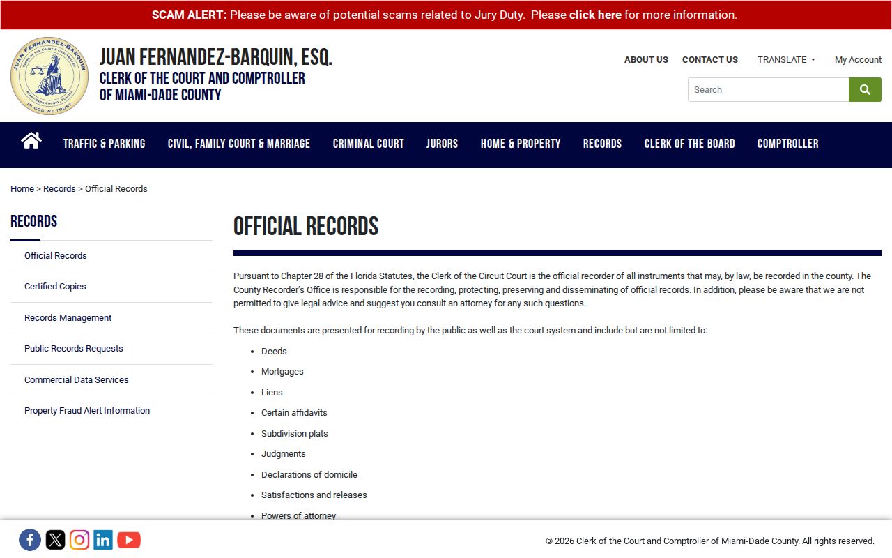
The image is a gateway, while the legal description in each instrument is the evidence that keeps the chain on the same lot.
For older books, the Records Library page leads to the pre-1974 access channel.
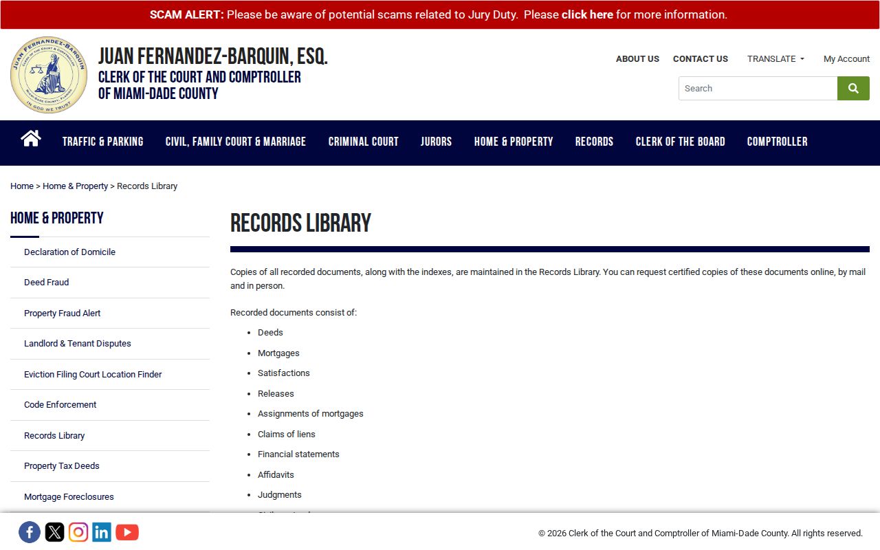
That library route prevents a false gap when an old Palmetto Bay deed does not appear online.
Palmetto Bay Street Grid
Always retain the SW directional prefix. SW 152 Street and SW 152 Avenue are different axes, while Old Cutler Road is a named corridor. USPS wording, county situs, folio, and legal description should stay side by side in the notes. A plat is the recorded map that defines a subdivision, lots, and blocks.
- Parcel
- A mapped unit of land identified by a folio.
- Situs address
- The physical location of the taxed parcel, not the tax-mailing destination.
- Plat
- A recorded subdivision map used in legal descriptions.
- Criss-cross directory
- A directory arranged by street and house number rather than surname.
Palmetto Bay incorporated in 2002, but county parcel and postal systems continued. No verified wholesale renumbering date was found. If an old address fails, inspect the subdivision plat and parcel history instead of inventing a renumbering event.
Palmetto Bay Permits by Address
Permit and code files can place a project at a Palmetto Bay address. Search fields include permit or customer number, project name, applicant or owner surname, application or issue date, street address and suite, status, lot, subdivision, parcel number, and contractor information. Broad searches should be narrowed.
The county permit, plan, inspection, code, and zoning service explains available records and requests. Palmetto Bay Building and Permitting can also be reached at 305-259-1250, with inspections at 305-259-1253.
An open-permit request can ask about open or expired permits, code violations, liens, and alarm payments. The published standard fee is $50 and the express option is $150. Code Compliance divides Palmetto Bay at SW 160 Street, with one zone from SW 136 to SW 160 and another from SW 160 to SW 184. That split is useful when a street crosses the line. Since July 2021, a complainant name and address are required before an inquiry based only on a complaint can begin.
The permit service illustrates the address-based channel used after parcel identification.
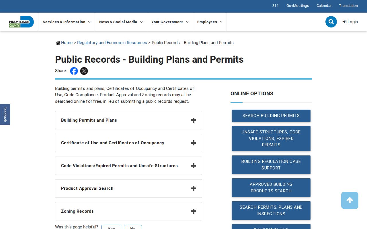
A permit applicant, owner authorization, or contractor can date a project, but none alone proves residence.
Verify Palmetto Bay Addresses
Palmetto Bay addresses use ZIPs 33157, 33158, and 33176. Only 33158 lies wholly inside the Village. The other two cross municipal lines, so a postal city or ZIP cannot prove jurisdiction. Verify delivery through the USPS address lookup, then verify the parcel in county GIS.
The USPS screen confirms the postal form before a street name is carried into other indexes.
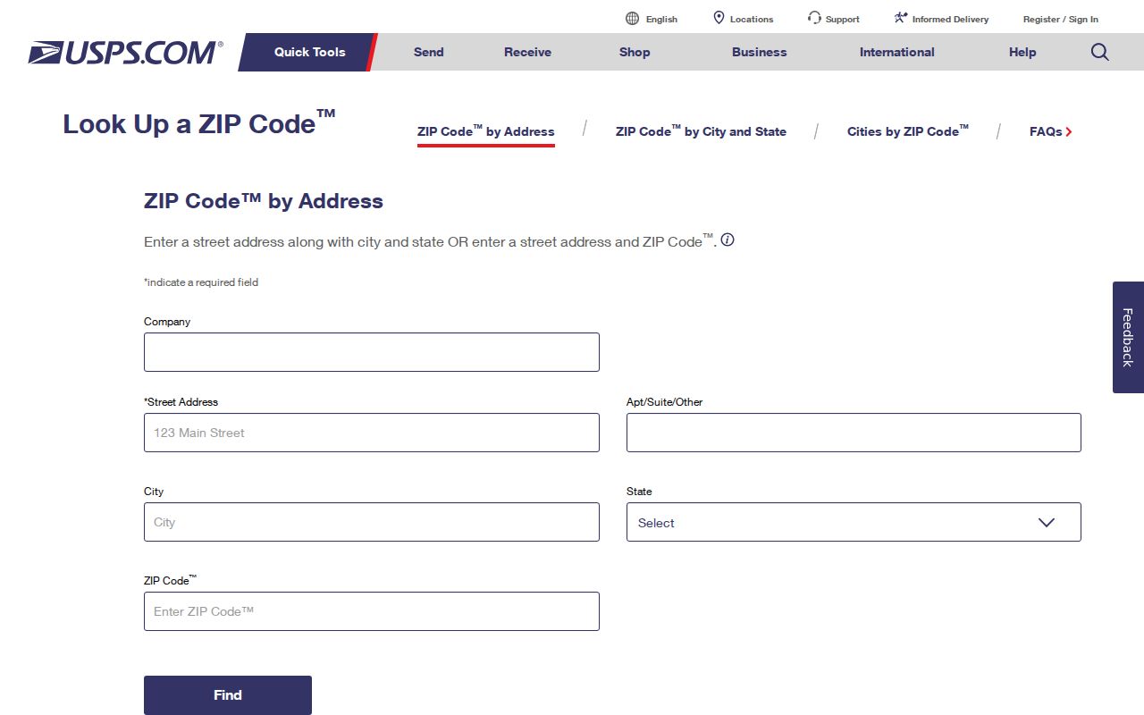
The postal result belongs beside, not in place of, the situs, folio, and recorded description.
Older Palmetto Bay Street Listings
A criss-cross volume may list a street, house number, occupant, and telephone, but exact South Dade years are not published online. Ask Miami-Dade Public Library System genealogy staff for Miami, Perrine, Cutler, or South Dade coverage. Those older place names matter because the Village did not exist as a municipal government before 2002.
Copy the directory’s title page and abbreviation key with the entry. Then check the alphabetic name section as well as the street-order section. One may lag the other or omit an outlying address. Pair a possible occupant with the 1935 or 1945 Florida census, or the public federal census through 1950. This adds household evidence without turning the historical volume into a claim about current residents.
The historical shelf belongs to the Palmetto Bay city directory collection. On a modern street search, use it only to test past occupancy after the parcel and legal description are secure.
Note: An absent reverse listing can reflect noncoverage, an unlisted phone, a spelling variant, a move, or a vacant address.
Palmetto Bay Street Directory Limits
No official Palmetto Bay street directory supplies a complete household roster. Parcel rolls omit most renters and other people in a home. The voter self-lookup requires personal identifiers and cannot list a street. Protected voter addresses, Address Confidentiality Program records, sealed files, and exempt official addresses must remain hidden.
Motor-vehicle information is restricted, and map photos or vehicles are not evidence of residence. A lawful search stops at the boundary set by each custodian. Do not try to rebuild a protected address by joining redacted records.
Lawful use. Use Palmetto Bay address records only for lawful personal research. Florida law does not permit stalking, harassment, threats, or harm.